

File:Virginia-map-1717.jpg: Difference between revisions
File on Ross Surname Project
More actions
Maintenance script uploaded File:Virginia-map-1717.jpg |
Redheadkelly (talk | contribs) No edit summary Tag: Manual revert |
| (2 intermediate revisions by 2 users not shown) | |
(No difference)
| |


Latest revision as of 21:54, 31 March 2026
Summary
Virginia area of Nova tabula geographica complectens borealiorem Americae partem drawn in 1717.
- "Nova tabula geographica complectens borealiorem Americae partem, in qua exacte delineatae sunt Canada sive Nova Francia, Nova Scotia, Nova Anglia, Novum Belgium, Pensylvania, Virginia, Carolina, et Terra Nova" [A new geographical map comprising the northern part of America, in which are accurately delineated Canada or New France, Nova Scotia, New England, New Belgium, Pennsylvania, Virginia, Carolina, and Newfoundland] (Map). Library of Congress, Geography and Map Division. Cartography by Nicolaes Visscher. 1717. Retrieved 18 Oct 2022.
Licensing
File history
Click on a date/time to view the file as it appeared at that time.
| Date/Time | Thumbnail | Dimensions | User | Comment | |
|---|---|---|---|---|---|
| current | 21:45, 31 March 2026 | 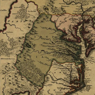 | 375 × 375 (60 KB) | Maintenance script (talk | contribs) | == Summary == Importing file |
You cannot overwrite this file.
File usage
The following page uses this file:
