

File:James-Ross-overlay-on-OpenStreetMaps.jpg: Difference between revisions
File on Ross Surname Project
More actions

Redheadkelly (talk | contribs) No edit summary |
== Summary == Importing file Tag: Server-side upload |
||
| Line 1: | Line 1: | ||
== Summary == | |||
Importing file | |||


Revision as of 21:45, 31 March 2026
Summary
Importing file
File history
Click on a date/time to view the file as it appeared at that time.
| Date/Time | Thumbnail | Dimensions | User | Comment | |
|---|---|---|---|---|---|
| current | 21:45, 31 March 2026 | 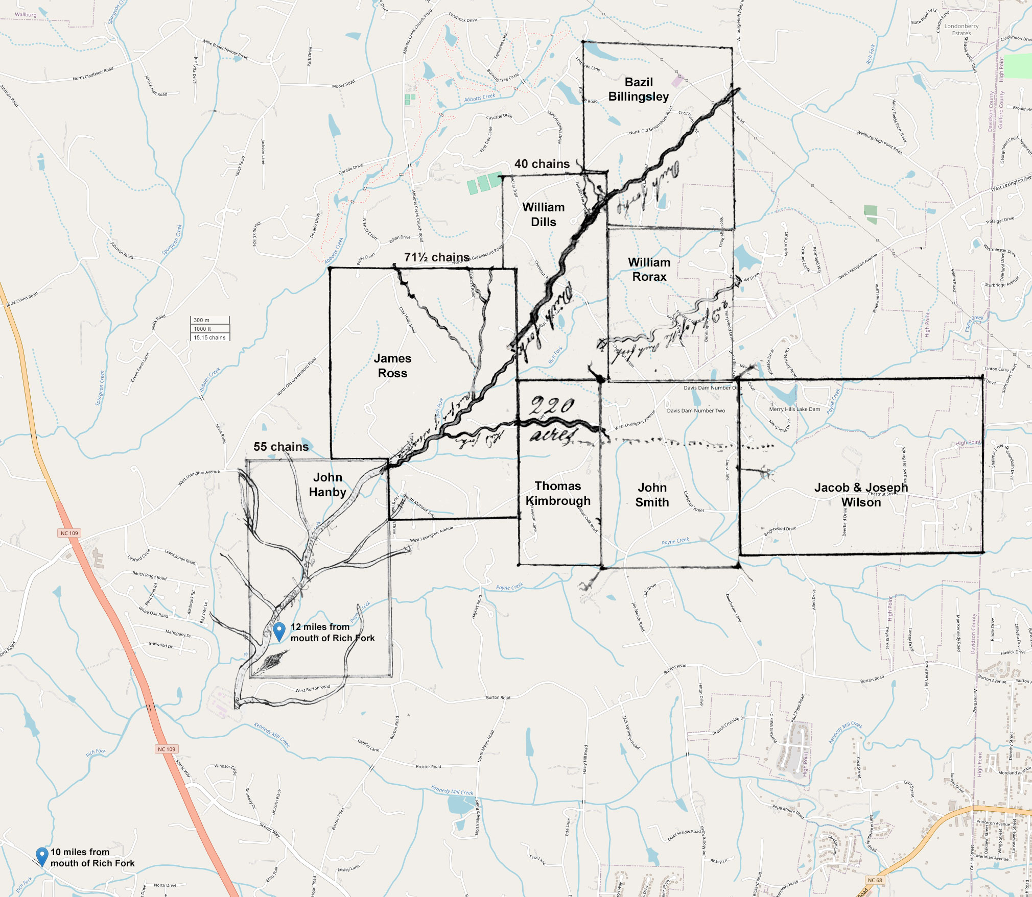 | 2,020 × 1,757 (552 KB) | Maintenance script (talk | contribs) | == Summary == Importing file |
You cannot overwrite this file.
File usage
The following page uses this file:
